Abstract
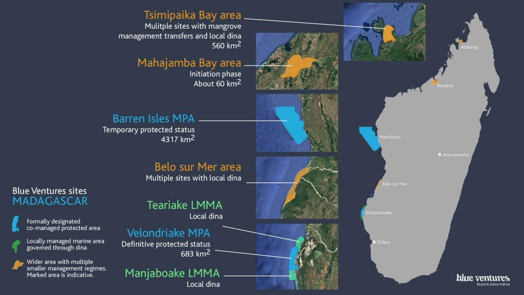
Mangrove ecosystems help mitigate climate change, are highly biodiverse, and provide critical goods and services to coastal communities. Despite their importance, anthropogenic activities are rapidly degrading and deforesting mangroves world-wide. Madagascar contains 2% of the world’s mangroves, many of which have undergone or are starting to exhibit signs of widespread degradation and deforestation. Remotely sensed data can be used to quantify mangrove loss and characterize remaining distributions, providing detailed, accurate, timely and updateable information. We use USGS maps produced from Landsat data to calculate nation-wide dynamics for Madagascar’s mangroves from 1990 to 2010, and examine change more closely by partitioning the national distribution in to primary (i.e., >1000 ha) ecosystems; with focus on four Areas of Interest (AOIs): Ambaro-Ambanja Bays (AAB), Mahajamba Bay (MHJ), Tsiribihina Manombolo Delta (TMD) and Bay des Assassins (BdA). Results indicate a nation–wide net-loss of 21% (i.e., 57,359 ha) from 1990 to 2010, with dynamics varying considerably among primary mangrove ecosystems. Given the limitations of national-level maps for certain localized applications (e.g., carbon stock inventories), building on two previous studies for AAB and MHJ, we employ Landsat data to produce detailed, contemporary mangrove maps for TMD and BdA. These contemporary, AOI-specific maps provide improved detail and accuracy over the USGS national-level maps, and are being applied to conservation and restoration initiatives through the Blue Ventures’ Blue Forests programme and WWF Madagascar West Indian Ocean Programme Office’s work in the region.
Keywords: Madagascar; mangrove; Landsat; dynamics; coastal

