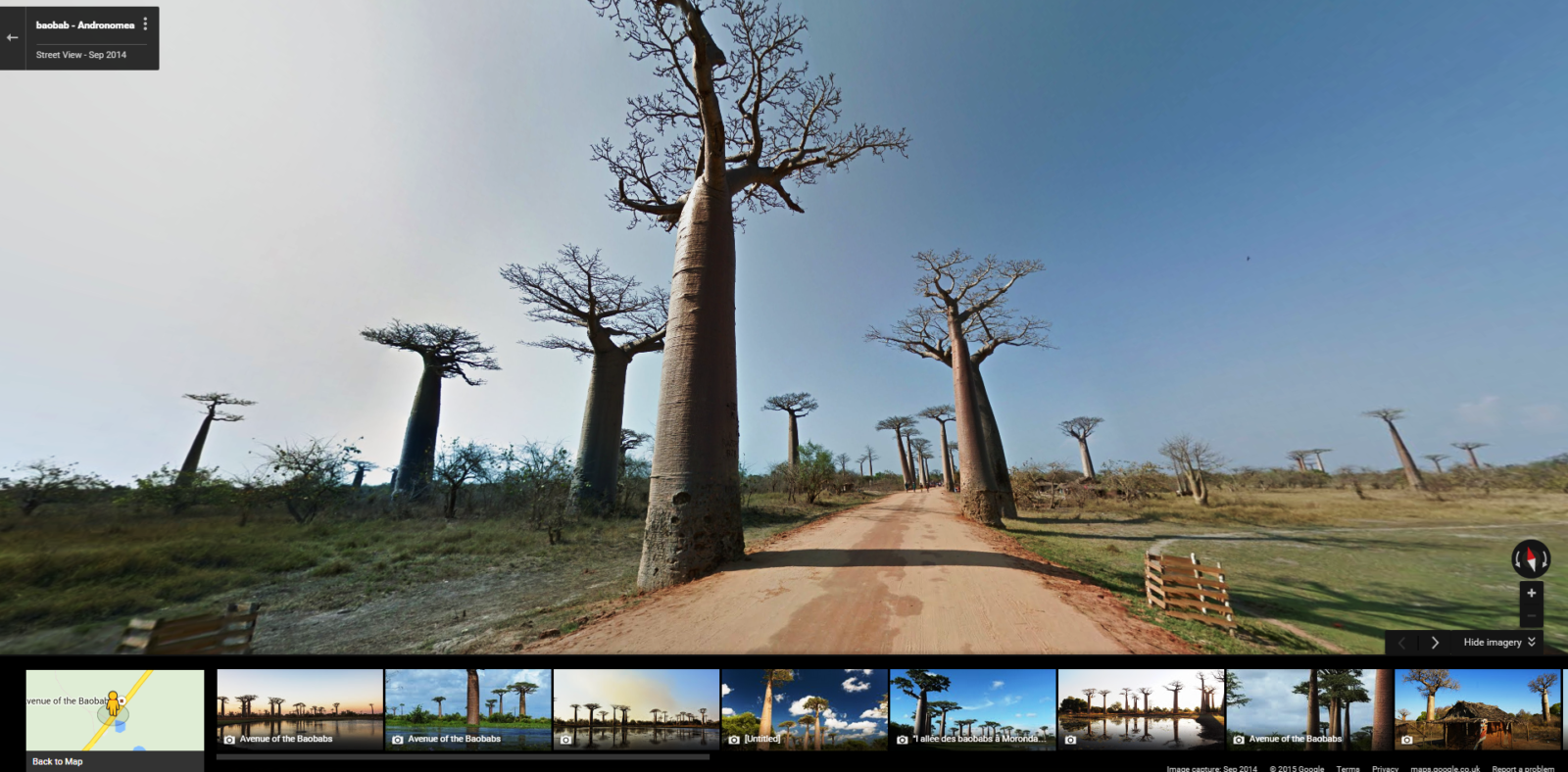
 Today Google Maps launched the first-ever Street View imagery of Madagascar, allowing a global audience to explore the world’s fourth largest island for the first time.
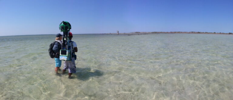
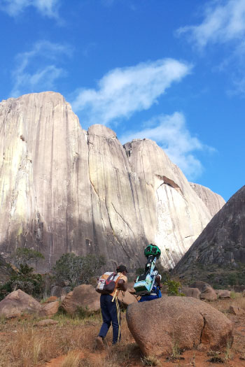
The advent of Google’s ‘Trekker’ has enabled some of the most spectacular sights of the natural world to be captured using a panoramic camera worn in a specially designed backpack. The football-sized, bush-proof camera allows the wearer to capture 360-degree imagery from 15 integrated lenses, in even the most rugged terrain.
Conservation organisation Blue Ventures has been working with Google through the Trekker Loan Program since 2014 to collect Madagascar’s first Street View imagery, capturing some of the island’s most famous land and seascapes from this unique on-the-ground vantage point.
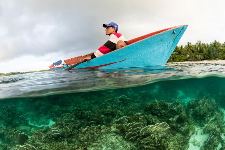
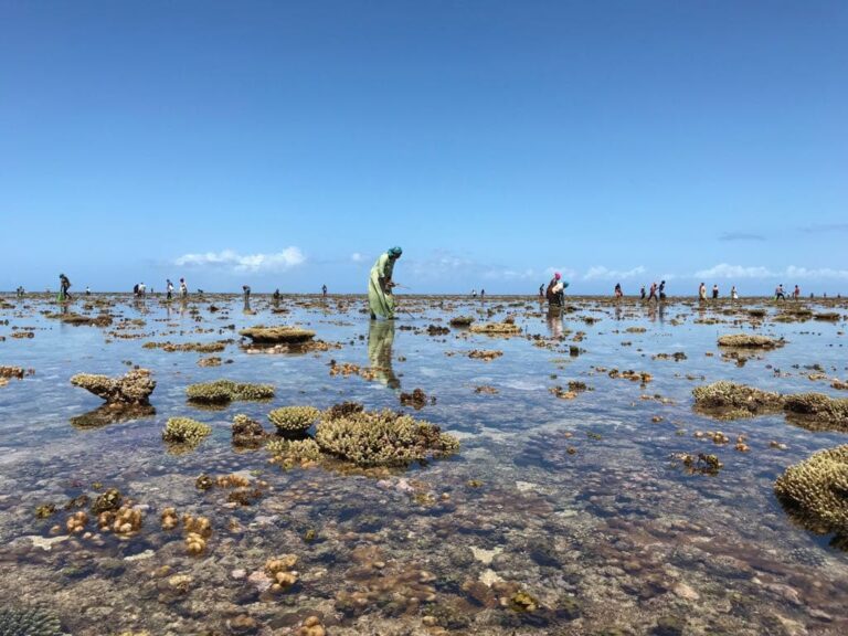
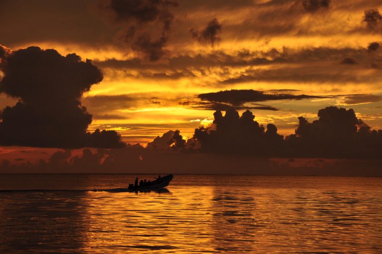
Renowned for its staggering diversity of wildlife and biodiversity, Madagascar boasts a globally unparalleled diversity of landscapes and scenery, including mist-covered tropical rainforests, extensive limestone rock formations, rocky peaks and mountain ranges, sub-arid spiny forest and thousands of miles of deserted beaches and turquoise lagoons.
Blue Ventures conservationists embarked on a six month nationwide journey with the Trekker, walking through some of the most dramatic of the island’s conservation sites, including the Nosy Hara and Andringitra national parks, and some of Madagascar’s lesser-known natural hotspots, well off the beaten track.
“By partnering with Blue Ventures through Trekker Loan Program, people all over the world will now be able to virtually explore Madagascar in breathtaking detail right from Google Maps. We hope this imagery inspires people to learn more about this amazing place and support the conservation of Madagascar’s unique plant and animal life.”
Alex Starns, Google Maps Street View Technical Program Manager.
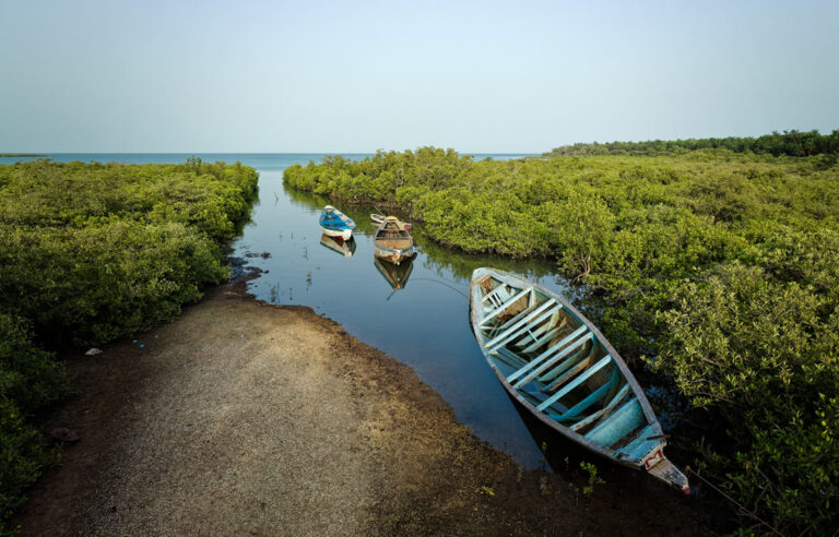
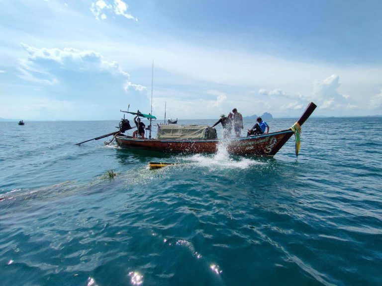
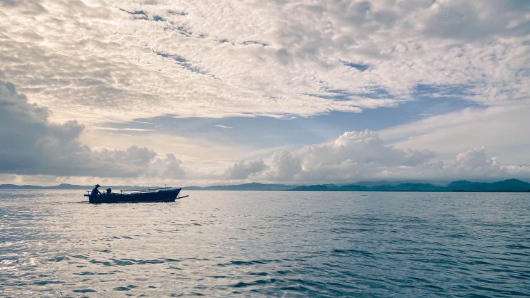
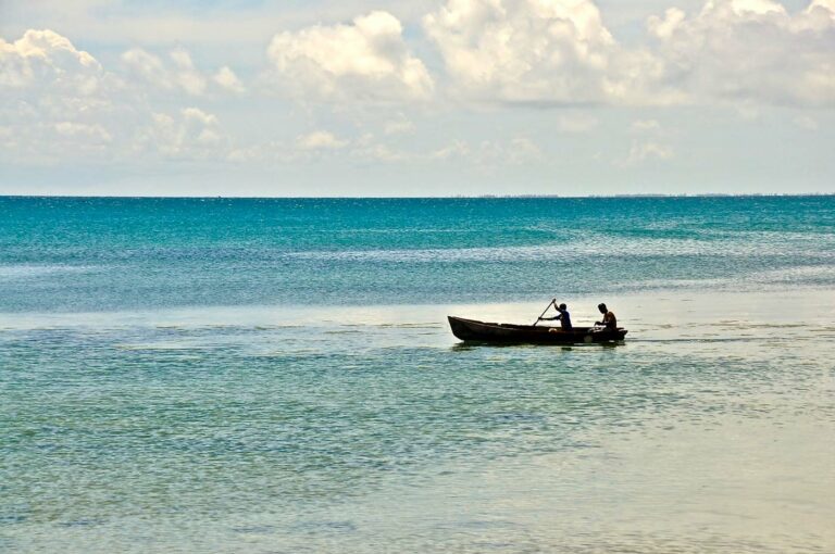
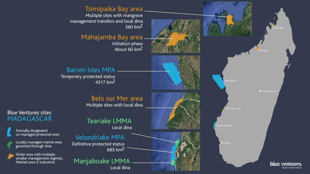
Travelling by traditional sailing pirogue 40km along the Mozambique Channel, the Trekker even visited the remote Barren Isles archipelago, the largest community-managed marine conservation area in the Indian Ocean.
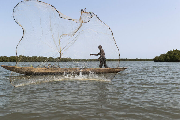
From strolling down the ‘Allée des Baobabs’, to drifting down the Sambirano river in a dug-out canoe, viewers can now experience some of the country’s spectacular biodiversity online, in unprecedented resolution and detail.
Zo Andriamahenina, Blue Ventures’ Research Technician, who carried the Trekker on many of its Malagasy adventures said, “It was exhausting carrying the 20 kg Trekker backpack up and down steep mountain slopes and through deep sand, but I’m very proud to have contributed to putting my beautiful country ‘on the map.”
“While the people we encountered during our treks often didn’t have electricity, let alone computers and the Internet, I’m convinced technology will be crucial to the next phase of Madagascar’s development. We’re delighted to be working with Google on a number of initiatives, and hope to see more and more collaborations between Malagasy initiatives and the world’s leaders in online technology to bring new solutions to some of the challenges my country faces.”
“Madagascar is one of the most fascinating places on this planet, yet its natural environment faces a growing number of threats, many driven by the increasing demand in natural resources,” comments Mialy Andriamahefazafy, Blue Ventures’ policy adviser in the capital Antananarivo.
“We hope that by enabling people who would not otherwise have the opportunity to see the big island for themselves, we can build connections to this special place from around the world, and support the various ongoing efforts to protect our wonderful natural heritage.”
To explore Madagascar through Google Street View please click here: https://goo.gl/OCgFj4
The Trekker imagery in Madagascar was made possible through in-country partnerships with the Department of Water and Forests – University of Antananarivo, the Ministry of Communication and Culture, and Madagascar National Parks. Blue Ventures is grateful to the tireless support of the volunteers who assisted with processing the imagery before it was loaded online.
–ENDS—
About the partners
Blue Ventures is a science-led social enterprise that works with coastal communities to rebuild tropical fisheries. We work with a unique model: sharing learning, building networks and scaling success through a truly integrated and holistic approach to community-based marine conservation. We work in places where the ocean is vital to local people, cultures and economies, and where there is a fundamental need to support human development.
Once we have developed a conservation model that works, we support coastal communities to share their experiences so that they can learn from each other. Over the past decade our models have guided national fisheries policy and been replicated by communities, NGOs, businesses, donors and government agencies along thousands of kilometres of coastline.
We have created the largest locally managed marine protected areas in the Indian Ocean, catalysed a sea change in community-led fisheries management, established sustainable aquaculture and ecotourism businesses, and developed new approaches to financing and incentivising marine conservation. So far our work has impacted the lives of more than 200,000 coastal people and in this way we aim to impact over 3 million people by 2020. Find out more about our work at http://discover.blueventures.org
Google Maps introduced Street View as an experimental project, packing several computers into the back of an SUV, stuck cameras, lasers, and a GPS device on top, and drove around collecting their first imagery. Street View has come a long way since its initial U.S. launch in 2007; today it has expanded their 360-degree panoramic views to include locations in 66 countries across all seven continents. Google was founded in 1998 and has since grown to be one of the world’s most prominent and progressive multinational corporations, serving millions of people around the world every day.
The Google-Blue Ventures partnership
Since 2011, Blue Ventures has been partnered with Google Earth Outreach (GEO); a partnership further enriched by participation in two Geo for Good Summits. Beyond the Trekker Loan Program, Blue Ventures is working with GEO to pioneer the use of a number of mapping tools and online storytelling resources. These tools are providing substantial practical benefits to ongoing marine research and conservation efforts in Madagascar in diverse ways, from influencing regulatory frameworks, to facilitating conservation efforts on the ground, and contributing to predictive ecological change models.

