Google Earth lets users explore high resolution images of the world, with assorted overlays, from place names to geographical data, local weather and Wikipedia articles.
This new release adds an exciting ocean dataset, including GPS tracking of sharks, images and videos of endangered marine species, the location of global IUCN marine protected areas and an ocean bathymetry, so users can view the seafloor in three dimensions.
Blue Ventures were invited to contribute to the new Oceans layer, in the Western Indian Oceans subregion. We are only one of a few organisations to be contributing data for Madagascar.
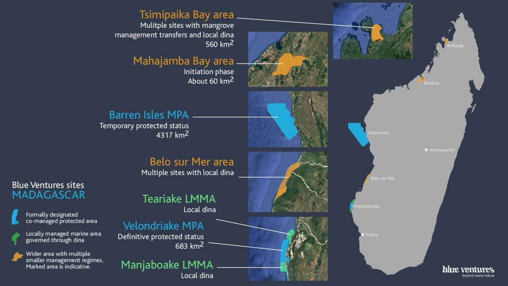
The information we contributed focuses on the community-managed Velondriake marine network, in southwest Madagascar, where we’ve been working with the local community & project partners (WCS & IHSM) since 2003.
Other data layers include information on a pilot remote sensing project, which we carried out in 2008, and the state of the shark fisheries in Morombe, 40km to the north of our research site.
You can download the new version of Google Earth from here: http://earth.google.co.uk/ocean
Or, you can visit the Velondriake website here: http://www.livewiththesea.org


