In an article for The Conversation, Trevor Jones (Adjunct Professor of Forest Resources Management and MGEM Program Advisor, University of British Columbia, and Geospatial & Blue Forests Science Advisor, Blue Ventures) describes Blue Ventures’ recent involvement in developing a mangrove mapping tool – the Google Earth Engine Mangrove Mapping Methodology (GEEMMM) – which enables coastal managers to map and monitor mangrove extent and change, and crucially, includes smaller, community-led areas of forest that previous tools have missed out.
As Trevor describes, the new tool “offers a tangible contribution towards local mangrove conservation, restoration and managed use”, enabling coastal communities to take the lead on protecting their natural marine resources, and build resilience.
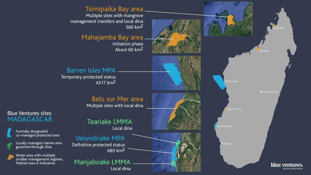
Following a pilot project in Myanmar, Blue Ventures is now trialling the tool in Madagascar with communities who are managing their mangrove forests.
Read about the new mangrove mapping tool in The Conversation
Learn more about Blue Ventures’ involvement in the project
Discover Blue Forests

