Blue Ventures has published a new methodology that provides an accessible approach to map and monitor mangroves using satellite imagery and cloud computing. The ground-breaking new methodology has been published in the open access journal Remote Sensing, sharing the blueprint for a new approach to enable conservationists to assess mangroves anywhere on earth.
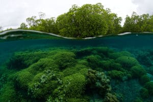
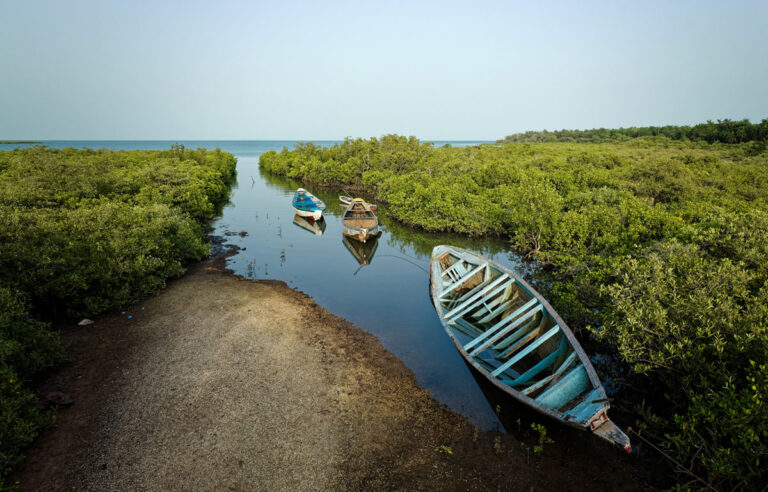
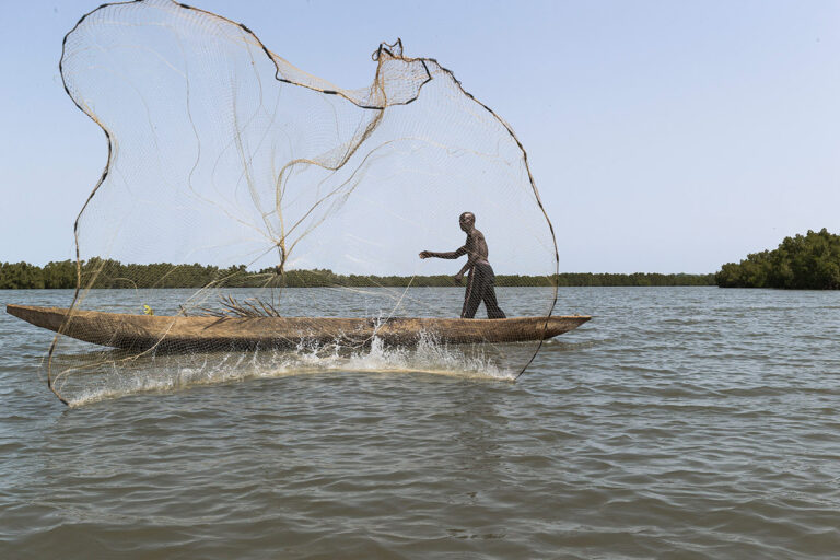
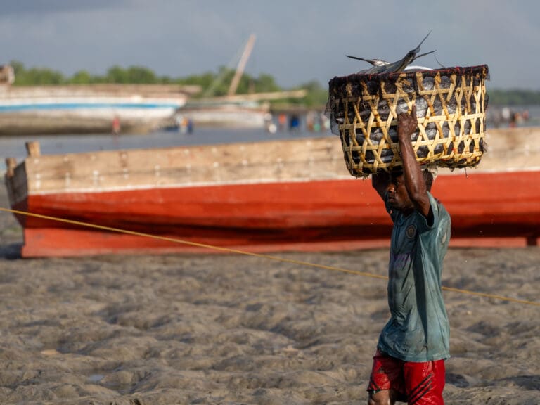
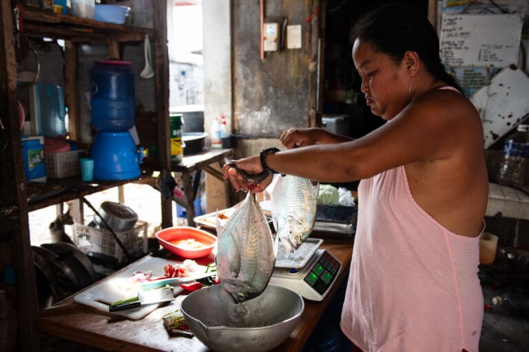
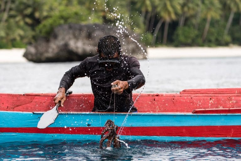
Mangroves or “blue forests” sustain the daily lives of hundreds of millions of coastal people, providing them with critical services from timber and fuel to shrimp, crab and fish. They underpin wider offshore fisheries, stop coastal erosion and improve water quality. They also capture and store carbon dioxide, and they do this at carbon densities far greater than most tropical rainforests. Protecting and restoring mangroves, a natural climate solution, is an affordable way to help avert dangerous climate breakdown. Yet we continue to deforest mangroves faster than almost any other forest type on Earth.
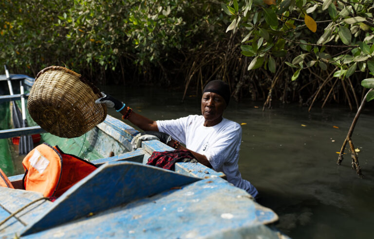
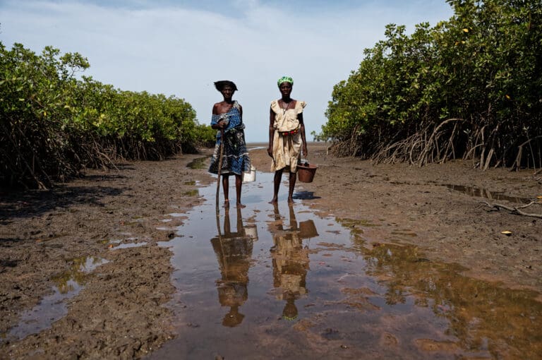
Coastal communities live with, and depend on, these mangroves and are best placed to protect and restore them. If they are to do so effectively, and access international climate finance to support these efforts, they need to know the extent of their mangroves and how they are changing over time.
Platforms like the ground-breaking Global Mangrove Watch map mangroves at a global scale providing critical information to countries and policy makers, but coastal communities developing conservation and restoration projects need to understand dynamics at local scales to target conservation and restoration efforts.
The GEEMMM is adaptable to any mangrove area of interest, at any extent. The methodology brings an unprecedented level of localised accuracy to cloud-based mangrove mapping, creating new opportunities for supporting communities developing mangrove conservation and blue carbon projects.
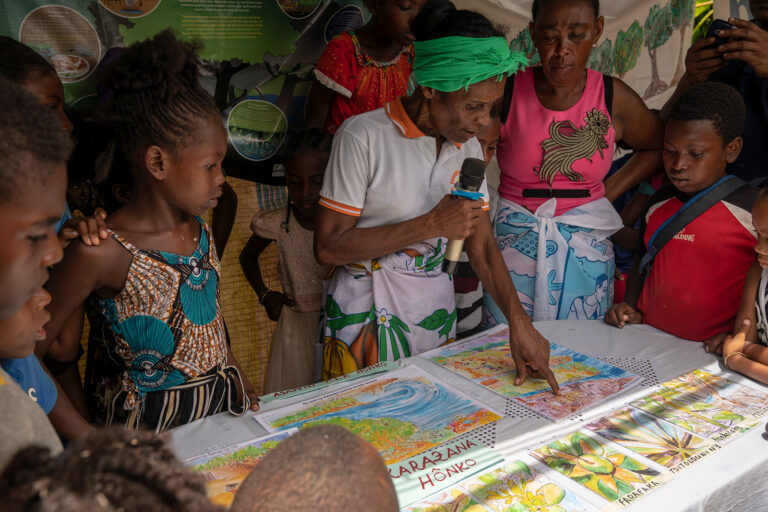
“The advantage of mangrove mapping is that we can know the exact size of the mangrove forest that we’re managing, and that will help us to preserve it. We know that we have to avoid diminishing that area over time” Perline, president of the community association, and mangrove reforestation leader, Ambalahonko, Madagascar
The methodology harnesses cloud computing through the Google Earth Engine (GEE) platform to overcome many of the barriers and limitations associated with existing methods, including availability of imagery, necessary computing resources, and required technical expertise. The method also offers a simplified approach to deal with variable tidal levels in satellite imagery, which is one of the biggest technical challenges with mapping mangroves. Critically, this new methodology does not require advanced knowledge of satellite imagery or coding.
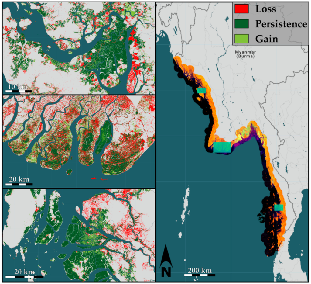
The research describes the methodology in detail using pilot data from Myanmar – mapping and assessing changes in mangrove cover for the entire country. As a region, mangroves in southeast Asia are impacted by humans more than anywhere else. GEEMMM results confirm the devastating loss of mangroves in Myanmar since 2004-08, highlighting the country as a global hotspot of mangrove loss.
Building on this Myanmar pilot, Blue Ventures conservationists are now working with coastal communities in Madagascar to further test the GEEMMM at the local-level. Work is now underway to further develop the methodology into a mobile app, making a more accessible tool to help communities who live in and around mangrove forests to measure, value and monitor forest cover and “blue carbon”.
“This new tool will greatly help us to know where we have already reforested mangrove areas, and once it has been reforested, it tells us where we have to avoid illegal mangrove cutting from now onwards” Soazafy, mangrove reforestation leader and environmental educator, Ambalahonko, Madagascar
The GEEMMM is available online through GITHUB for non-profit use. Conservationists and researchers are encouraged to test it in other mangrove ecosystems and provide feedback as the underlying code continues to be updated and improved.
Leah Glass, Blue Ventures’ Technical Advisor for Mangroves and Blue Carbon says, “The GEEMMM will dramatically reduce the time, money and skills required to accurately map and monitor mangroves at scales that are meaningful for coastal communities, overcoming one of the main technical barriers to the development of locally led blue carbon projects.”
This project was carried out with the financial support of the UK Government’s International Climate Finance (ICF) and the Principality of Monaco.

