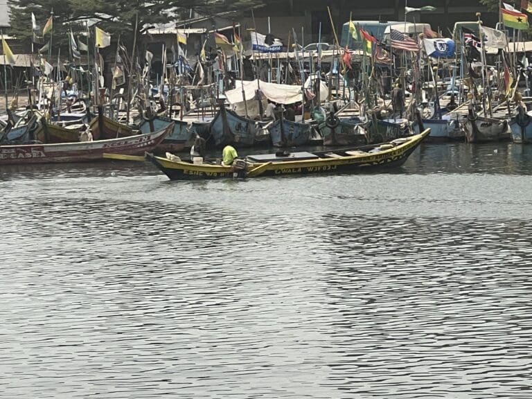
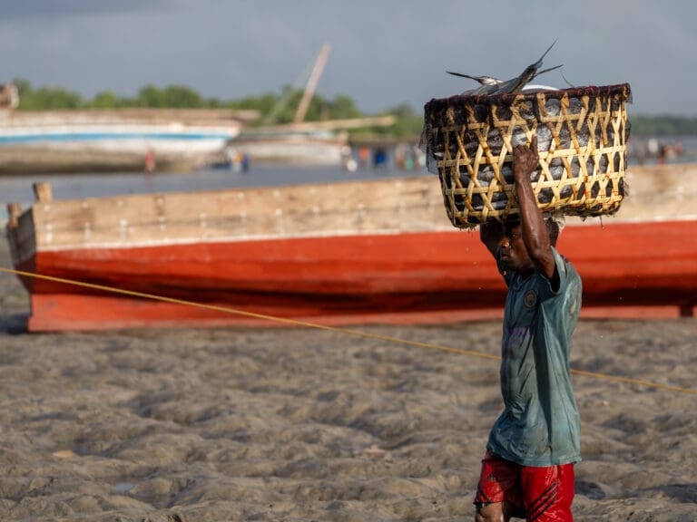
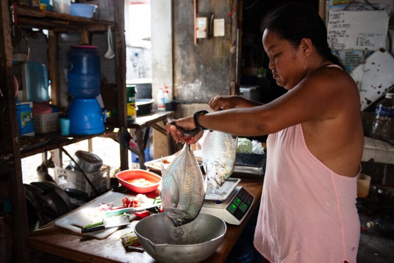
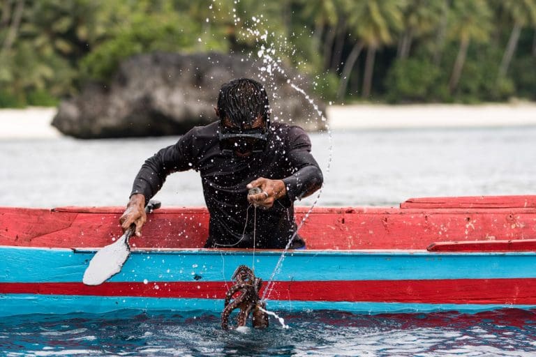
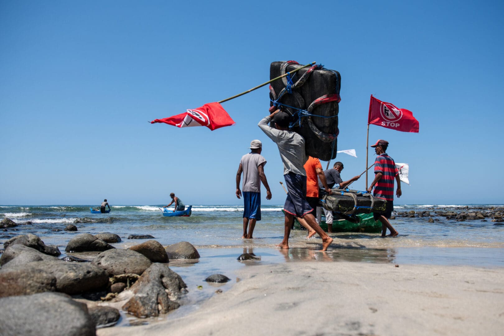
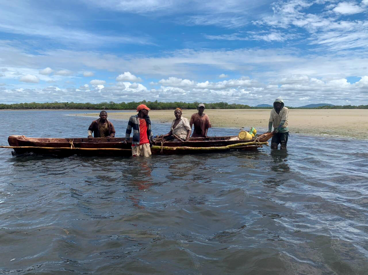
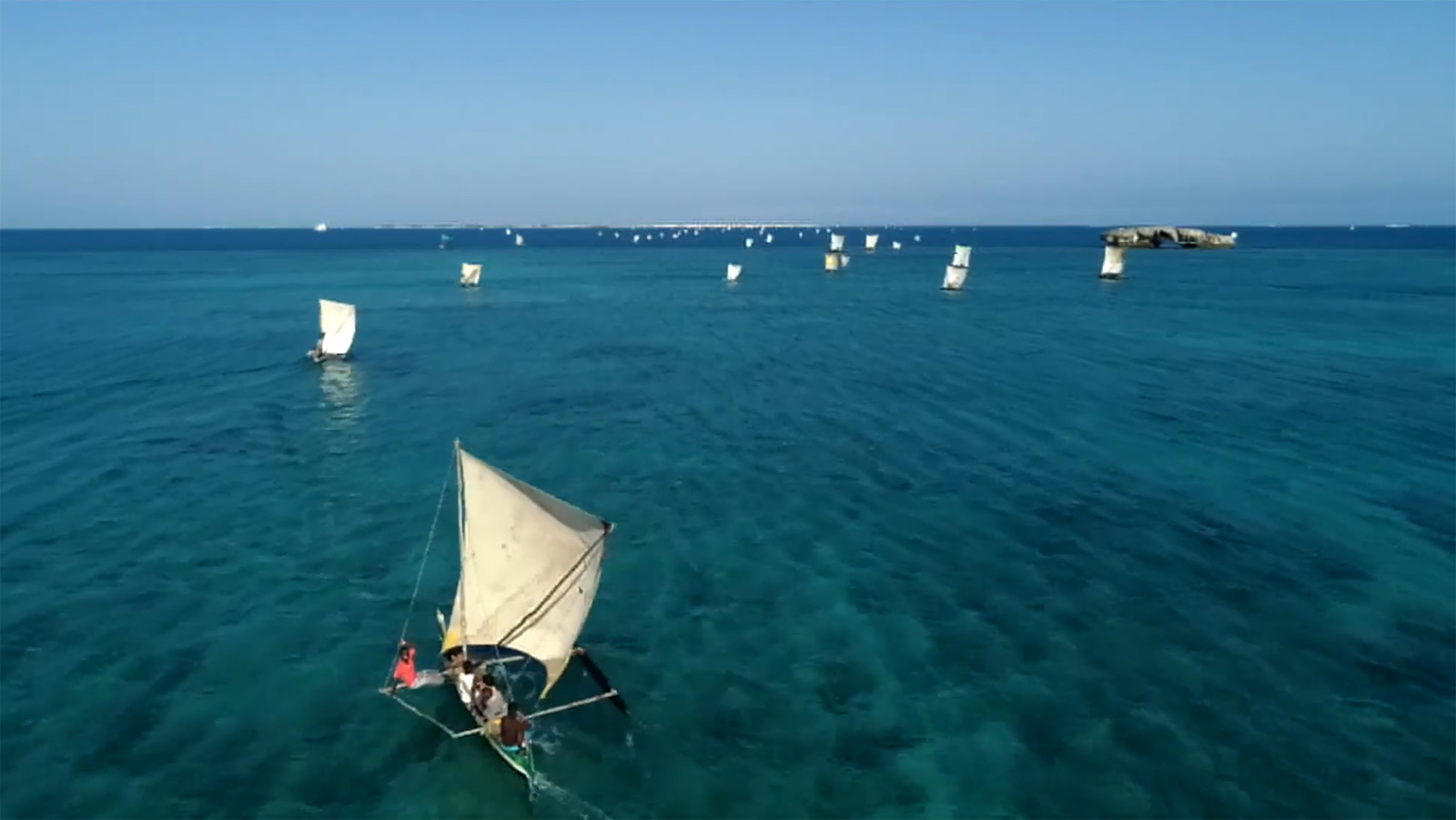
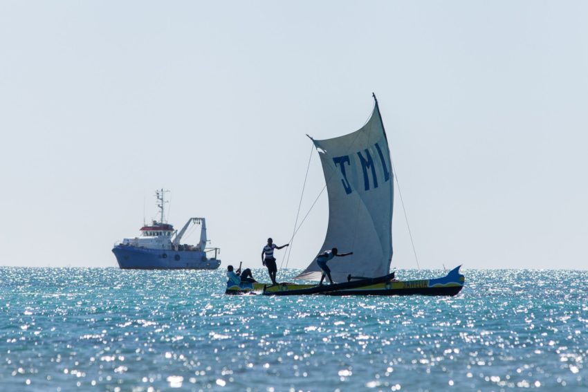
For years, Ghana’s small-scale fishers and industrial trawlers operated in close quarters along its coast, competing for the same ocean grounds and frequently clashing at sea.
A year ago, Ghana took a major step towards ending that conflict. The Fisheries and Aquaculture Act 2025 extended the country’s Inshore Exclusive Zone (IEZ) from six to 12 nautical miles, pairing it with full co-management by coastal communities. The law effectively expanded the coastal zone reserved exclusively for and co-managed by small-scale fishers, pushing all industrial fishing fleets further offshore.
While many nations have IEZs, Ghana’s new law goes further by embedding co-management directly into national law, replacing top-down state control with a shared governance structure that gives small-scale fishers a legally recognised role in managing their traditional waters.
Now formally gazetted and carrying full legal weight, the focus has shifted from passing the law to making this co-management framework and the boundary hold on the water.
The change replaces an older system that was often confusing to understand and nearly impossible to enforce. Previously, the coastal zone was defined either by six nautical miles from shore or by a 30-metre depth contour. Because the ocean floor drops off at different rates along Ghana’s coast, the boundary zigzagged unevenly. In areas where deep waters sat close to shore, industrial fleets could lawfully fish right alongside local canoe fishers. The new 12-nautical-mile limit replaces those variable depth lines with a single, clear boundary, bringing deeper coastal waters into the protected zone.
“With the expansion to 12 nautical miles, several places with depths below 30 metres, and even 50 metres or beyond, are falling within the zone,” says Nana Kweigyah, President of the Canoe and Fishing Gear Owners Association of Ghana (CaFGOAG). “This effectively protects all those areas from bottom trawling.”
The Transform Bottom Trawling Coalition and Blue Ventures have supported fisher-driven advocacy around the Act, working alongside local organisations to help fishing communities understand the new law and contribute to developing regulations. This work is underpinned by a formal partnership with the Ministry of Fisheries and Aquaculture Development to strengthen fisheries management and implementation of the Act.
Through this support, the organisations have trained fisher leaders, facilitated community discussions to gather their views, and helped establish an Artisanal Fishers Forum. The Forum provides a regular space for fisher representatives to discuss fisheries policy and raise issues affecting their communities. It is also an important step towards defining how co-management will work across Ghana’s territorial sea.
Putting the expanded IEZ into practice has also required addressing practical concerns raised by industrial operators about moving further offshore. Trawler owners voiced concerns about the availability of viable fishing grounds beyond 12 nautical miles, the ability of their existing vessels and gear to operate in deeper waters, and the implications for safety and fuel costs.
To address these concerns, the Ministry and its agency, the Fisheries Commission, led joint trial fishing exercises beyond the new boundary. The trials gathered practical data on catch rates, target species, and vessel performance in deeper waters, proving that fishing beyond 12 nautical miles is technically viable. That data is now informing ongoing regulatory discussions around gear modifications.
“There are legitimate differences in interests,” says Nana. “Small-scale fishers want their fishing grounds protected from industrial intrusion, while industrial operators want certainty about where and how they can operate efficiently beyond the 12 nm boundary. The objective is not to weaken the operations of either sector. Ghana needs both a viable small-scale fishing sector and a responsible industrial fishing sector operating within clearly defined rules.”
That ongoing dialogue, backed by trial data, has helped ease early tensions, establishing a clearer framework for how both sectors can operate without crossing paths.
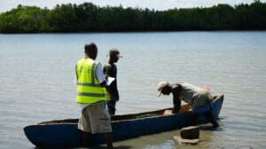
Making sure the boundary is respected requires effective monitoring and enforcement. The Fisheries Commission monitors activity using electronic vessel tracking, while the Fisheries Enforcement Unit coordinates state agencies, including the Ghana Navy and Police Service. Crucially, co-management turns small-scale fishers into active partners in surveillance, as they share real-time information to highlight incursions that formal tracking systems might miss.
“Artisanal fishers spend considerable time at sea and can provide useful information, but community reporting should complement, not substitute for formal state surveillance and enforcement,” says Nana.
Formalising these shared governance roles is central to the next phase of work. Ghana is now drafting implementation regulations, co-management guidelines, and planning community outreach campaigns to ensure that vessel owners, crews, enforcement officers, and coastal communities fully understand the new rules before full enforcement begins.
But the decisions affecting Ghana’s coastal waters extend beyond fisheries. Recent moves towards offshore gold exploration, covering roughly 10,000 square kilometres of marine waters, have raised alarm across coastal communities and fisher organisations. The prospect of seabed mining so close to shore threatens fragile marine habitats, fish breeding grounds and ecologically sensitive areas such as the Greater Cape Three Points Marine Protected Area.
In response, fishers’ unions, led by the National Fisheries Association, jointly petitioned the government, pointing out the contradiction of expanding the IEZ to protect artisanal grounds only to open those same waters to seabed destruction. That collective pressure yielded an important first result when the government suspended the exploration activities.
For coastal communities, however, a temporary pause falls short of real security. In a joint statement calling for the complete revocation of the licenses, artisanal fishers delivered a clear message: “Our ocean is not a liquid desert waiting to be exploited. It is a living ecosystem that sustains fishing families, fish processors, traders and coastal communities. Their livelihoods, food security and cultural heritage depend on it.”
The mining controversy is a stark reminder that protecting the inshore zone is not just about keeping industrial trawlers outside a line on a map. True co-management gives coastal communities a permanent, recognised voice in how their entire marine territory is used and protected, extending their authority beyond fishing rules to any decision or industry that impacts their waters.
Ultimately, the value of these changes will be measured by what they mean for fishing communities and the health of the waters they depend on. It is still too early to determine whether the expanded boundary has changed fish catches, stock health, or local livelihoods. Catch rates naturally fluctuate based on seasonal and environmental conditions, making short-term shifts difficult to isolate.
To build a clear picture over time, the Fisheries Commission and Blue Ventures, alongside local partners, are tracking fishing effort, catch rates, fleet interactions, and reported incursions, as well as long-term biological and socioeconomic data. For now, the most immediate change is clearer separation between artisanal and industrial fleets.
“The biggest risk would be an implementation gap,” says Nana. “A situation where we have a strong law and a clearly established boundary but lack the surveillance, enforcement consistency or stakeholder confidence required to make it work in practice.”
Closing that gap depends on reliable surveillance, open dialogue, and sustained community action. Passing a milestone law was a crucial first step, but the real test over the coming years is whether that law translates into genuine security for the fishers who depend on these waters.