Mangroves are truly magnificent. Making up less than 1% of tropical forests worldwide, some mangroves store six times more carbon than an equal area of Amazonian rainforest.
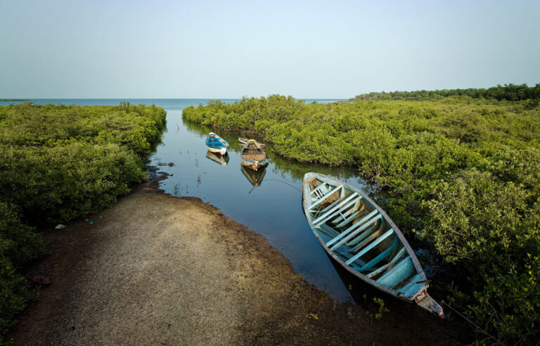
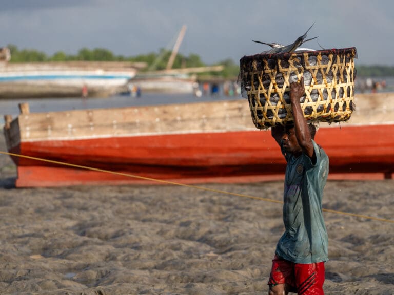
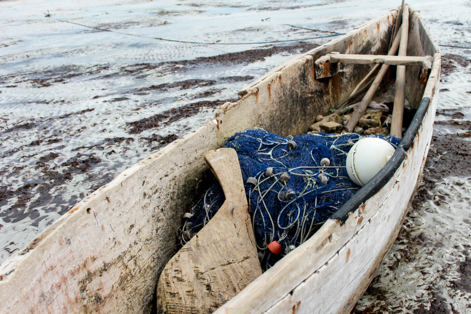
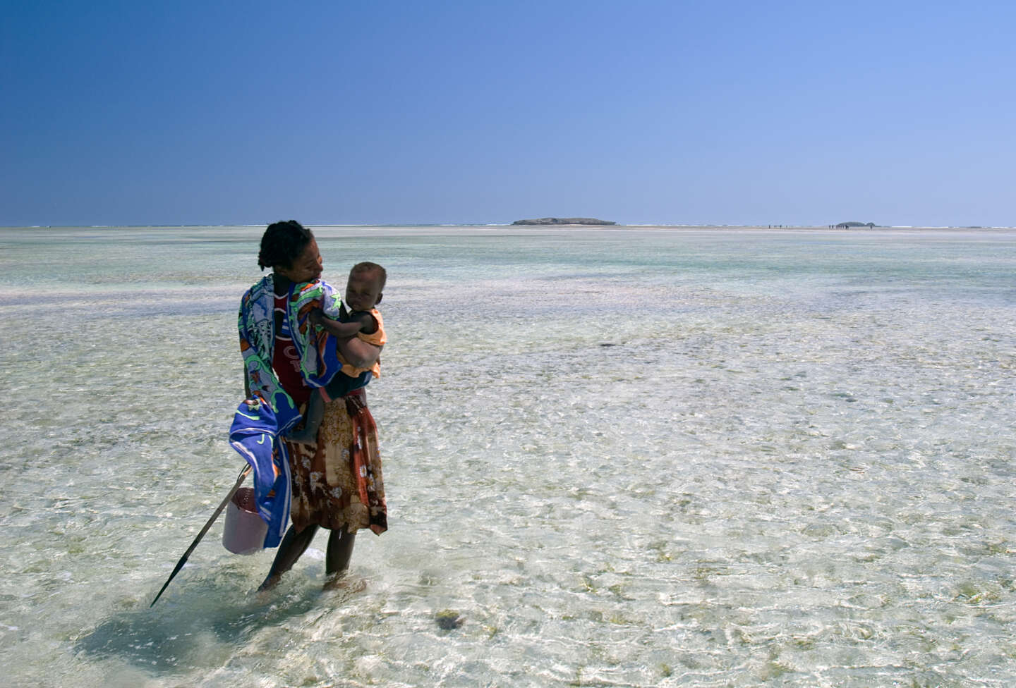
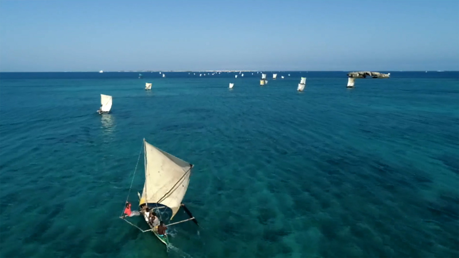
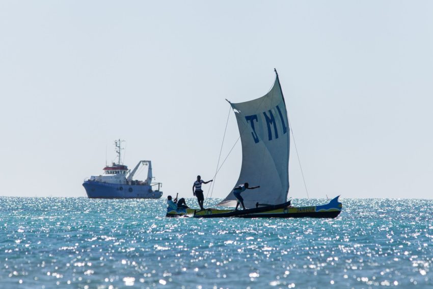
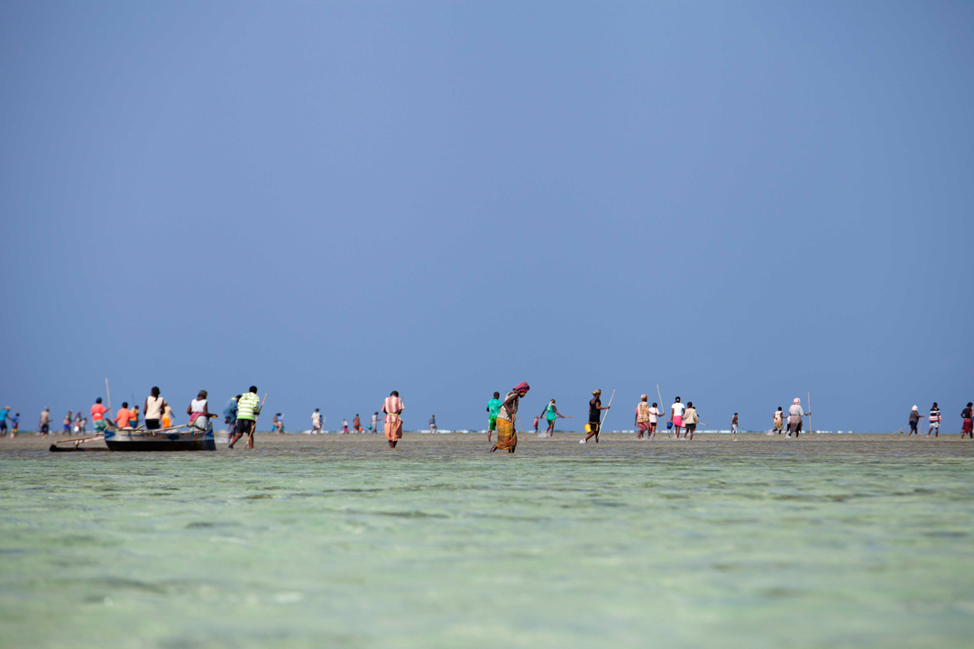
As green guardians of the coast, mangroves have supported small-scale fishers for millennia. These forests not only shield life on land but cradle the seas, providing vital nurseries for fish.
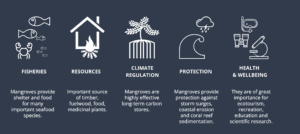
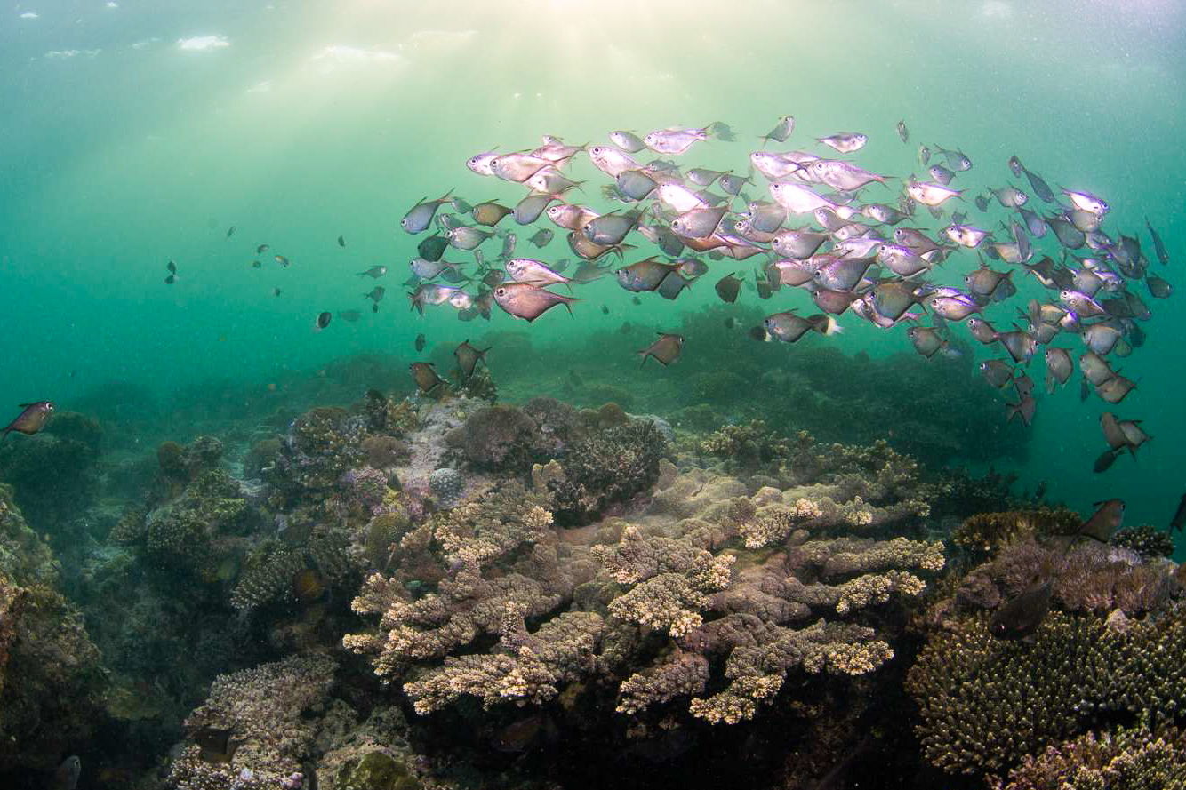
Mangroves may cover only 0.1 percent of the Earth’s surface, but the services provided are far beyond their size. They protect coastlines from destructive storms and sequester carbon from the atmosphere, helping to combat climate change. Alongside seagrass meadows, mangroves also support marine biodiversity and improve water quality.
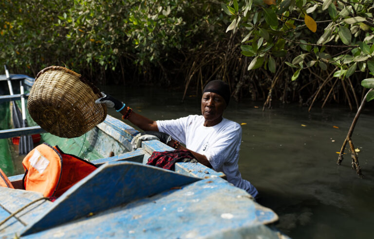
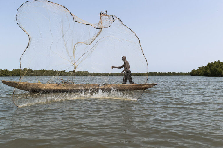
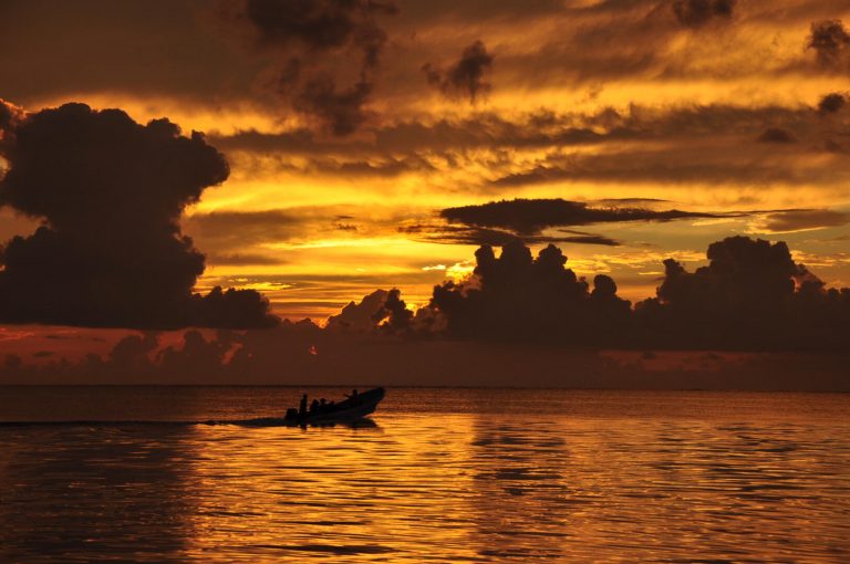
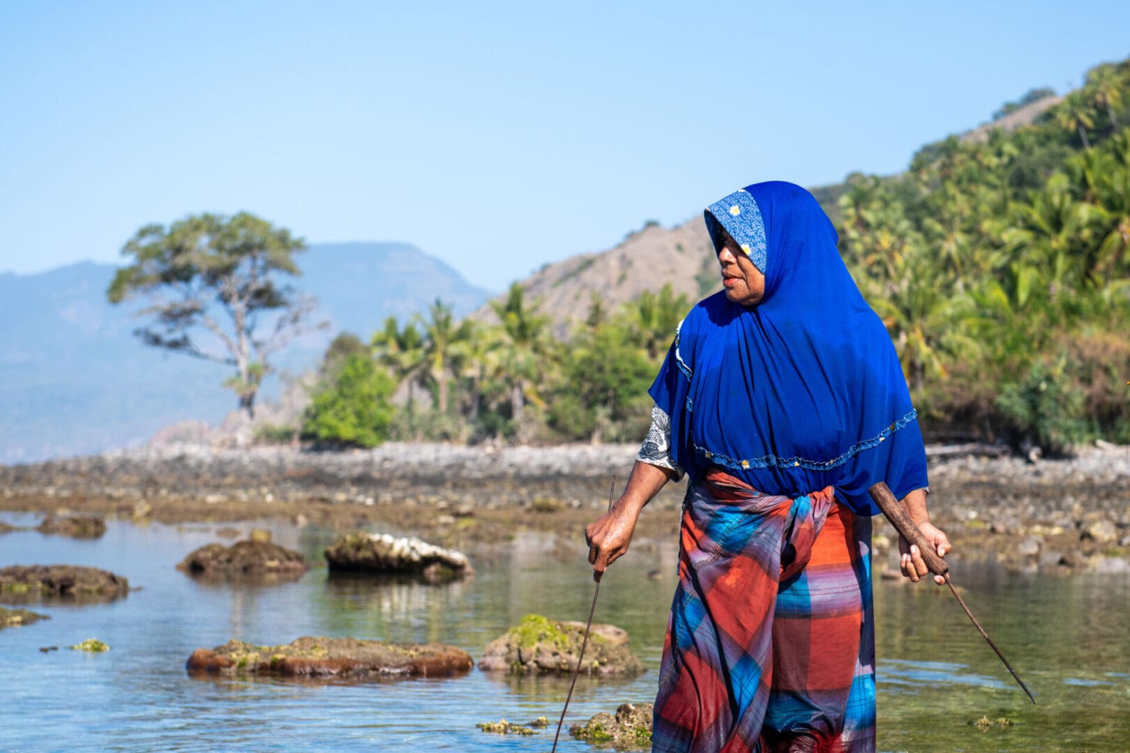
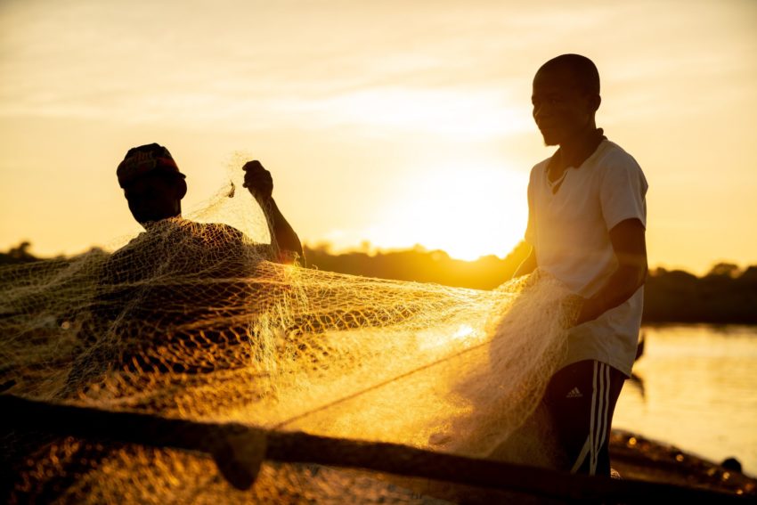
 Mangroves have supported small-scale fishers for millennia. Image Garth Cripps | Blue Ventures
Despite their benefits, mangroves and seagrass have long been overshadowed by coral reefs in marine conservation and fisheries management. Corals are more often seen as the key indicator of marine ecosystem health. However, this paradigm is gradually shifting as we recognise the vital role of mangroves and seagrass in ensuring coastal resilience and food security.
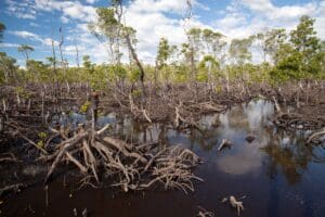
Despite their huge importance to people, the global rate of mangrove loss is 3-5 times greater than the rate of loss for all other forests. At least a quarter of the world’s original mangrove cover has already disappeared.
Yet these ‘blue forests’ provide huge benefits for people and the environment that are worth an estimated US$33-57 thousand per hectare per year to the national economies of low income countries with mangroves.
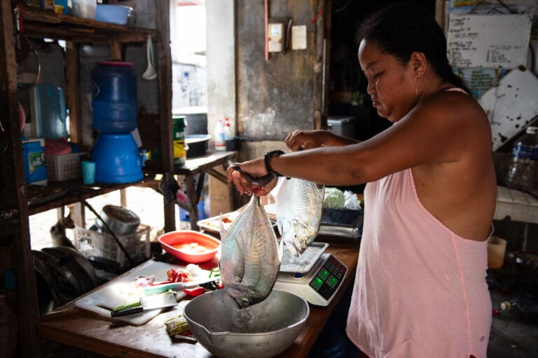
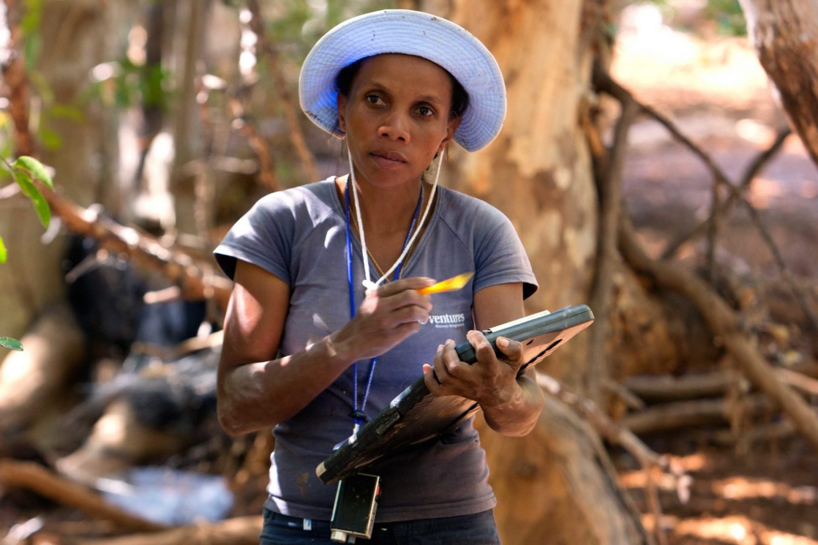
Today, grassroots groups in Indonesia and Madagascar are incorporating mangroves into their ecological assessments, helping to secure the future of sustainable fisheries.
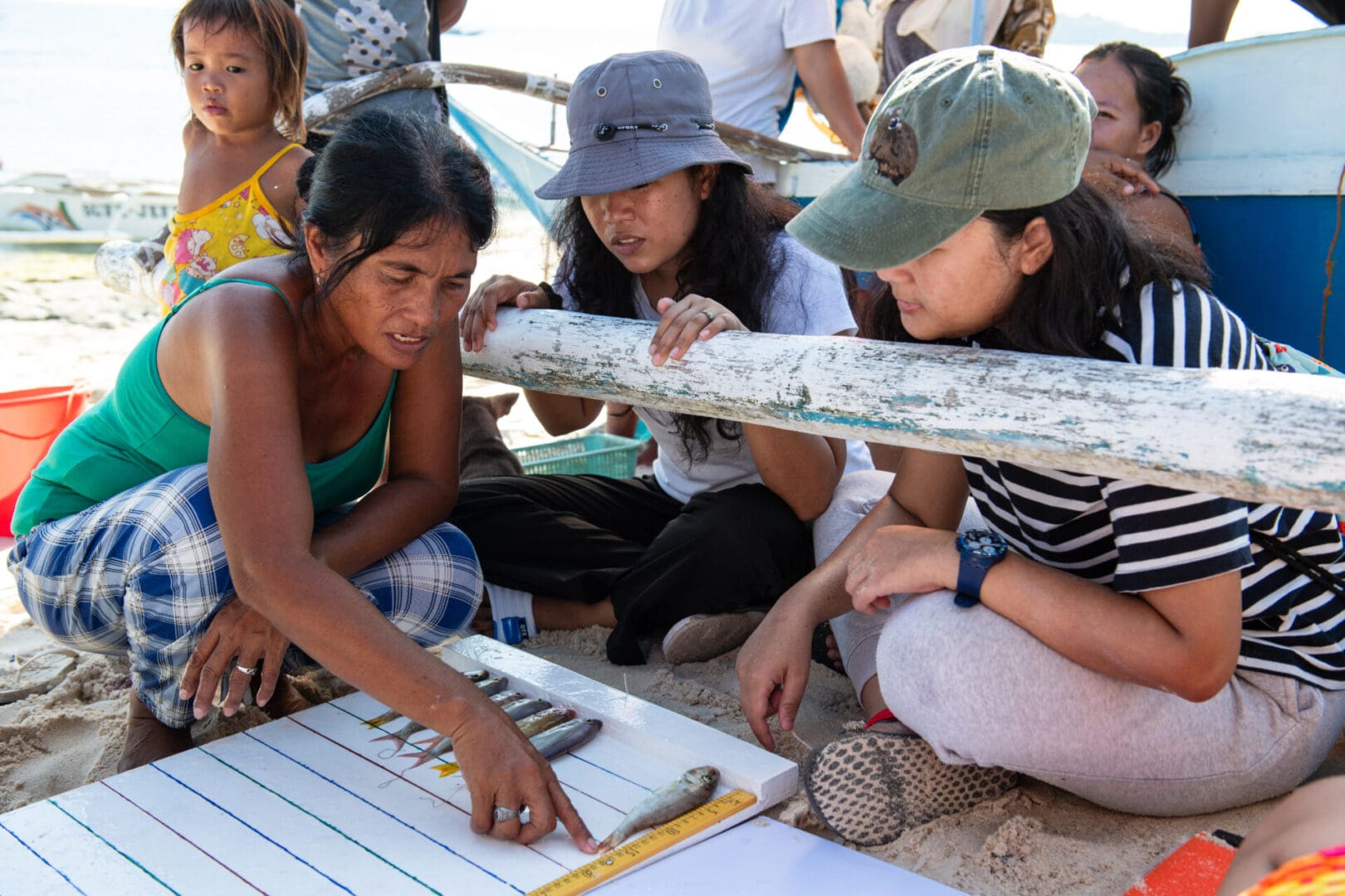
Accelerating Mangrove Monitoring in Indonesia
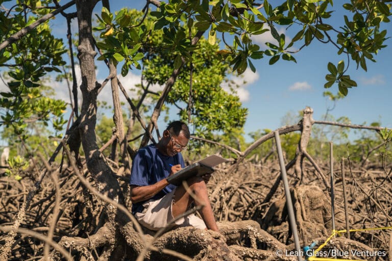
Local organisations in Indonesia have begun incorporating mangrove and seagrass assessments into their community-led monitoring efforts. In Sinaka Village, West Sumatra, Yayasan Citra Mandiri Mentawai (YCMM) has surveyed 2,523 hectares of mangroves, finding them in excellent to moderate health.
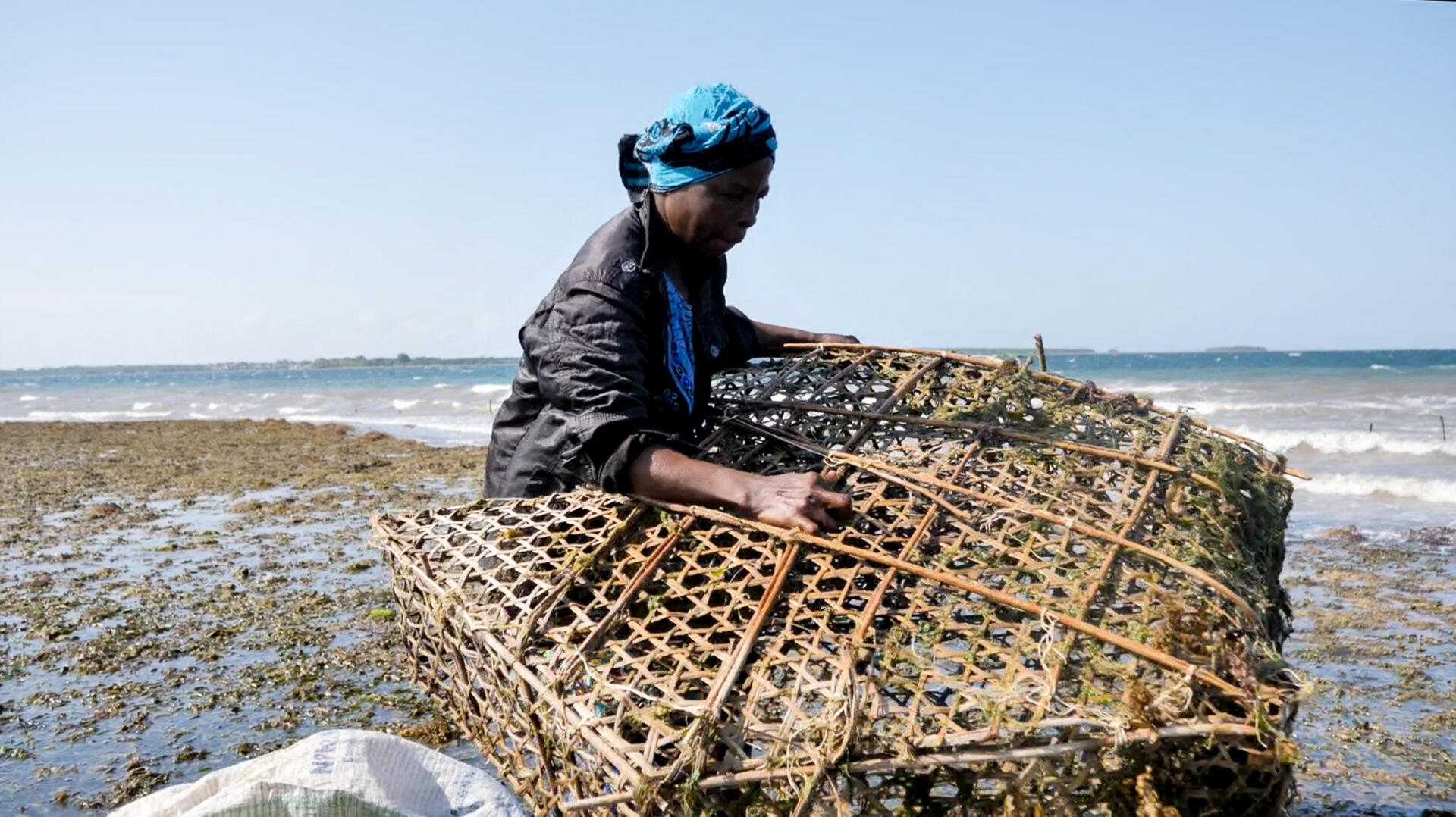
These efforts strengthen multispecies fisheries management, expanding beyond octopus to include mud crab fisheries. In Sinaka, fishers can catch up to 10 kilograms of mud crabs a day, earning around Rp 1,000,000 (USD 60). However, without careful management, overfishing could threaten mud crab populations and the mangroves they depend on.
To address this issue, Sinaka Village has enacted a local regulation to set clear rules to prevent ecosystem damage and protect mangrove forests.
In Maluku, eastern Indonesia, our partner Nusa Bahari Lestari (Sahari) has also carried out a mangrove survey this year. Although the surveyed area is smaller, at 273 hectares, the mangroves are in excellent to moderate condition. These findings will inform their multi-species finfish fisheries management, focusing on species such as snapper and grouper.
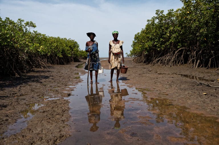
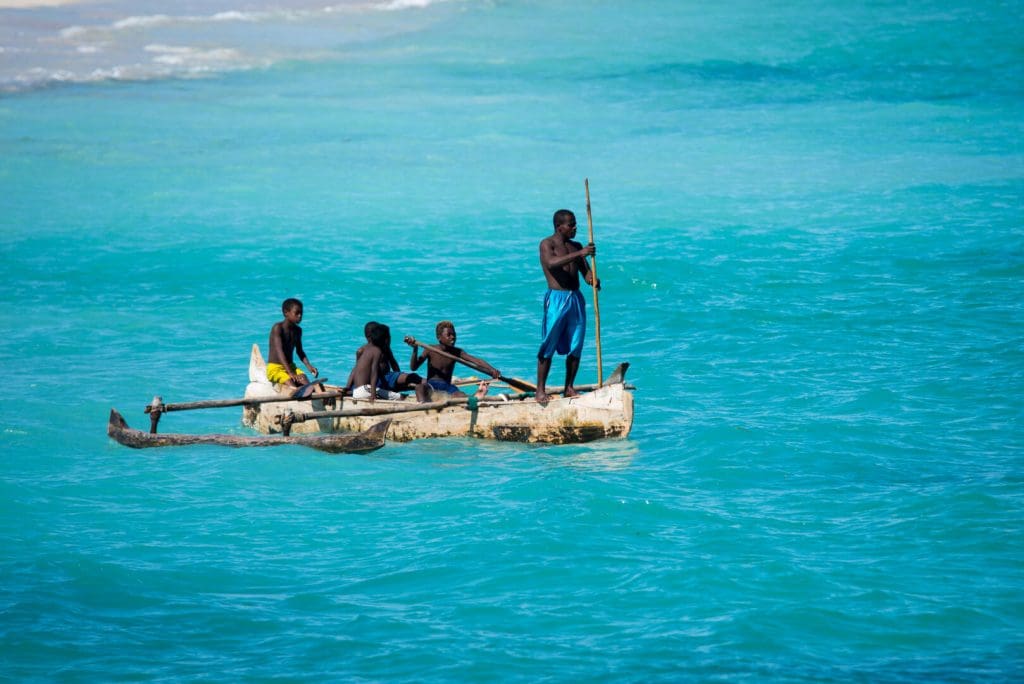
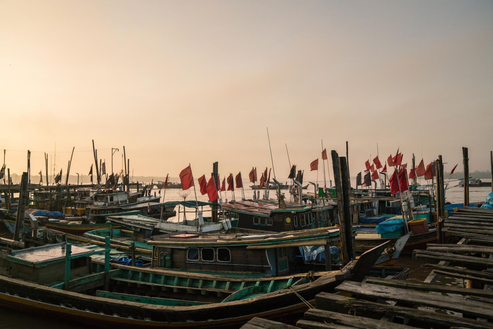
 Indonesia boasts the world’s largest mangrove extent, holding an estimated 20% of the global mangrove area. Image Leah Glass | Blue Ventures
The effectiveness of this protection relies on reliable, up-to-date data to guide decisions on closures and harvest limits.
“Data on mangrove quality and distribution will surely help the village government and coastal communities identify temporary closure areas where mud crabs can grow big,” said Yuafriza, Program Manager at YCMM.
To support partners like Sahari and YCMM, our Indonesia team has introduced the Mangrove Monitoring (MonMang) application developed by the National Research and Innovation Agency (BRIN). This flexible, offline-capable tool enables community-led mangrove data collection, empowering communities to manage their resources with reliable, up-to-date information.
Mangrove Recovery in Madagascar
Almost 7,000km away, coastal communities across Madagascar are also stepping up to reverse the decline of mangrove forests, using locally led solutions to restore and protect these vital ecosystems.
In the southwest, the Tahiry Honko project, launched in 2018, is a leading example of how Blue Ventures partners with Locally Managed Marine Areas (LMMAs) to drive community-led restoration. In the Velondriake LMMA, ten villages are now overseeing the long-term monitoring of more than 1,200 hectares of mangroves, with efforts set to continue through 2038.
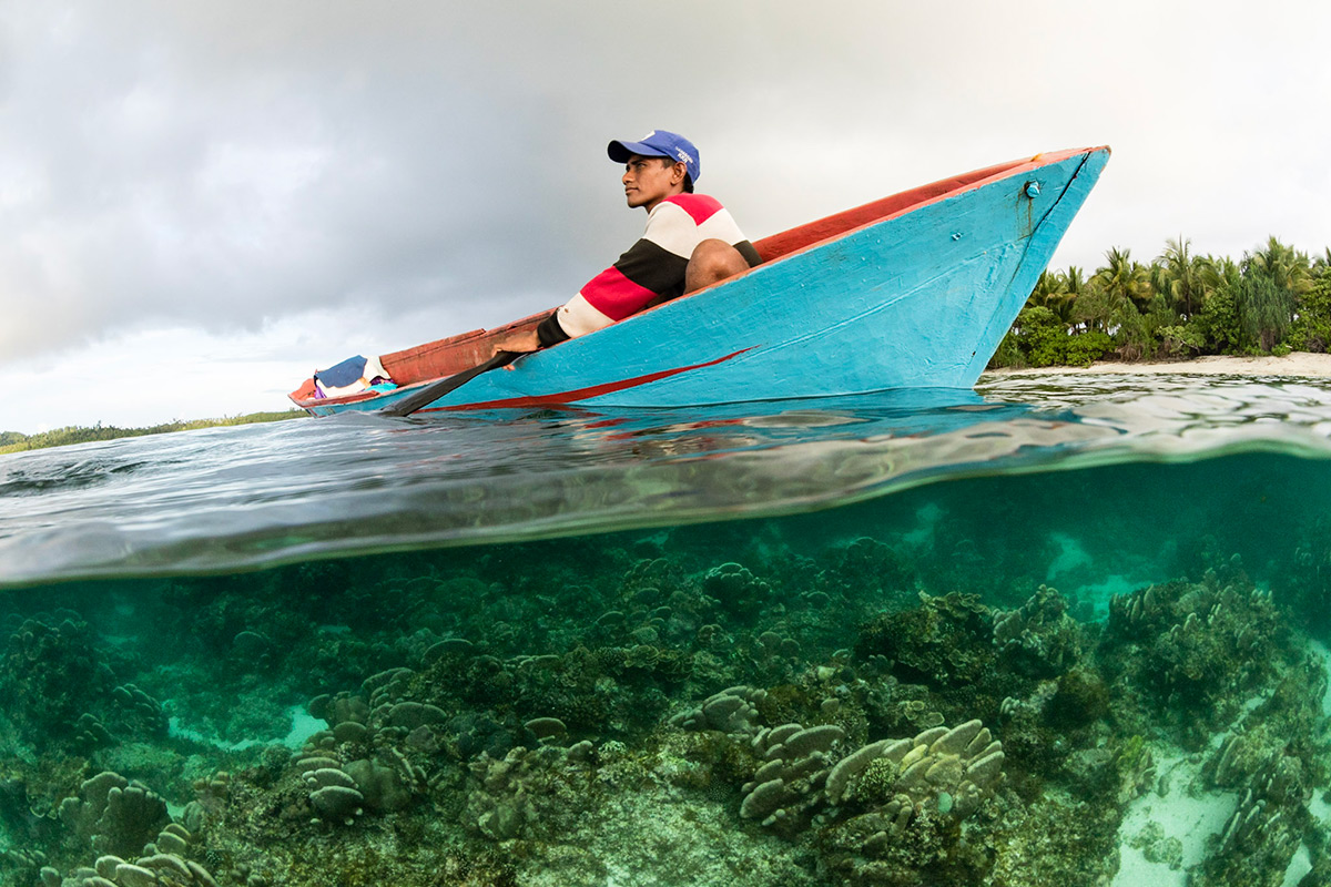
 Mangrove cover is increasing in the Bay of Assassins, southwest Madagascar. Image Louise Gardner | Blue Ventures
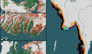
The impact is already tangible. A recent study revealed an encouraging annual increase of 1.08% in mangrove cover in the Bay of Assassins, an area where mangroves had previously been declining by 4.12% each year.
“This positive change shows what is possible when enabling policy frameworks are in place, and when local communities have the legal rights, tools, and support to sustainably manage their natural resources,” says Jaona Ravelonjatovo, National Technical Lead for Mangrove Science.
In the north of the country, Tsimipaika Bay has experienced widespread mangrove degradation, with over 2,000 hectares cleared, primarily for charcoal production. Since 2017, however, coastal communities in the bay have taken action to reverse this loss through community-led restoration initiatives. As a result, approximately 1,500 hectares of mangroves have been restored, and as of 2025, the mangrove ecosystem is showing clear signs of recovery. Local communities have observed the return of key species such as crabs and shrimp, indicating the gradual restoration of vital ecological functions.
Harnessing Digital Technology
As the success of mangrove conservation and restoration initiatives is observed at various temporal and spatial scales, Blue Ventures is also supporting community-based organisations with data for decision-making. The GEM tool (Google Earth Engine Mangrove Mapping Methodology) has been designed to fill critical data gaps at the local level and has enabled non-experts to map and monitor mangrove change with speed and precision. Its open-access, semi-automated approach removes barriers to data access and analysis, enabling communities to produce accurate maps using GEM App with their cell phone that guide restoration, protect livelihoods, and shape conservation strategies grounded in local knowledge.
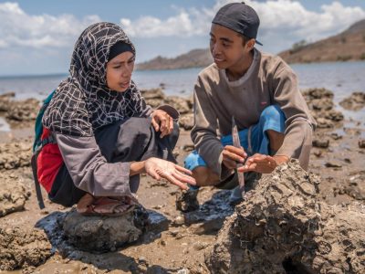
 The GEM app, created by Blue Ventures, enables communities to map and monitor their mangroves. Image Blue Ventures
“This tool lets us see the impact of our efforts in real time,” says Santis Andriatiana, president of fisher associations in the region. “It’s exciting to watch the mangroves grow and know that what we’re doing is working. It gives us hope and helps us plan with confidence.”
Find out more about why mangroves are climate superheroes here
Regional stories from Yoga Putra and Cédric Randrianjatovonala.


